541-630-4017

Iowa IA 2 Driving Conditions
Iowa Road and Traffic Cams
IA 2 traverses southern Iowa, connecting major highways US 59 and US 71. It passes through the cities of Shenandoah, Clarinda, and Hamburg.
IA 2: RWIS – IA 2 MM 219 @ Cantril: R59: IA 2 Bridge
IA 2: RWIS – IA 2 MM 219 @ Cantril: R59: IA 2 East
IA 2: RWIS – IA 2 MM 219 @ Cantril: R59: IA 2 Road
IA 2: RWIS – IA 2 MM 219 @ Cantril: R59: IA 2 West View
IA 2: RWIS – IA 2 MM 219 @ Cantril: R59: West Zoom
IA 2: RWIS – IA 2 MM 191 @ Bloomfield: R81: Bloomfield
IA 2: RWIS – IA 2 MM 164 @ Centerville: R11: Bridge Deck
IA 2: RWIS – IA 2 MM 164 @ Centerville: R11: East Sensor
IA 2: RWIS – IA 2 MM 164 @ Centerville: R11: East View
IA 2: RWIS – IA 2 MM 164 @ Centerville: R11: Near RPU
IA 2: RWIS – IA 2 MM 164 @ Centerville: R11: West Bridge Approach
IA 2: RWIS – IA 2 MM 164 @ Centerville: R11: West View
IA 2: RWIS – IA 2 MM 96 @ Mt Ayr: R85: Mount Ayr
IA 2: RWIS – IA 2 MM 66 @ Bedford: R55: IA 2 Bridge
IA 2: RWIS – IA 2 MM 66 @ Bedford: R55: IA 2 East View
IA 2: RWIS – IA 2 MM 66 @ Bedford: R55: IA 2 Road
IA 2: RWIS – IA 2 MM 66 @ Bedford: R55: IA 2 West View
Add Your Tooltip Text Here

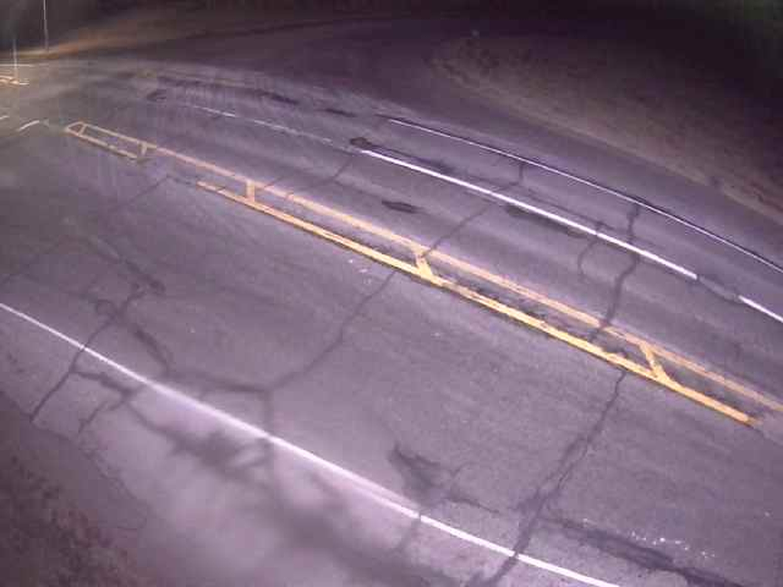
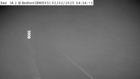
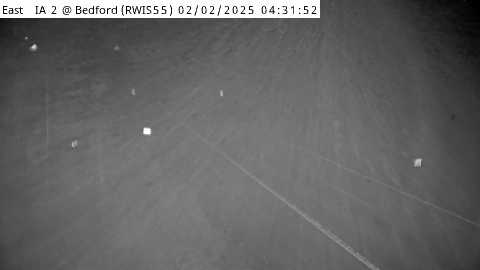
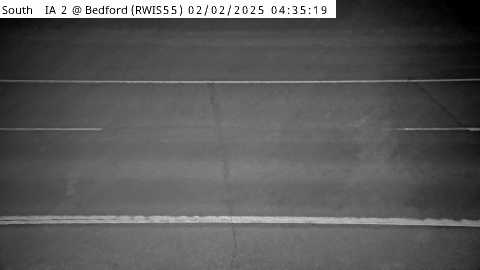
Click on any district on the map to access road cams and driving conditions for that district.