Iowa Highway 9 is a 216-mile north-south route connecting Lansing in the northeast to Shenandoah in the southwest. It intersects with U.S. Routes 20, 30, 34, 59, and 71, and passes through Decorah, Charles City, Mason City, and Humboldt.
IA 9: RWIS – IA 9 MM 222 @ Saratoga: R69: East View
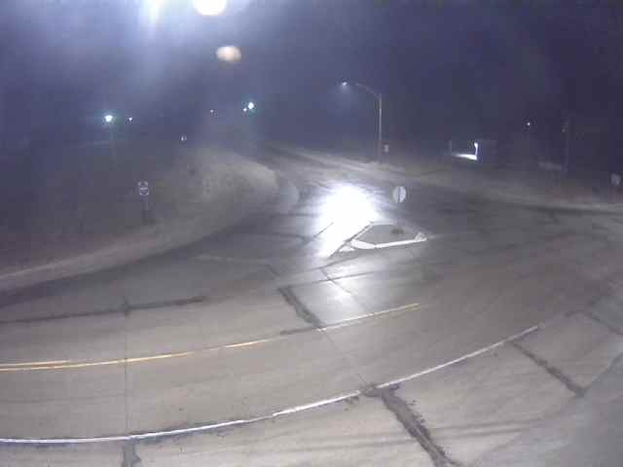
IA 9: RWIS – IA 9 MM 222 @ Saratoga: R69: IA 9 Curve
IA 9: RWIS – IA 9 MM 222 @ Saratoga: R69: IA 9 Road
IA 9: RWIS – IA 9 MM 222 @ Saratoga: R69: IA9
IA 9: RWIS – IA 9 MM 222 @ Saratoga: R69: South View
IA 9: RWIS – IA 9 MM 222 @ Saratoga: R69: South Zoom
IA 9: RWIS – IA 9 MM 150 @ Leland: R83: Leland
IA 9: RWIS – IA 9 MM 91 @ Estherville: R64: East View
IA 9: RWIS – IA 9 MM 91 @ Estherville: R64: East Zoom
IA 9: RWIS – IA 9 MM 91 @ Estherville: R64: IA 9
IA 9: RWIS – IA 9 MM 91 @ Estherville: R64: IA 9 Bridge
IA 9: RWIS – IA 9 MM 91 @ Estherville: R64: IA 9 Road
IA 9: RWIS – IA 9 MM 91 @ Estherville: R64: IA 9 Road Sensor
IA 9: RWIS – IA 9 MM 91 @ Estherville: R64: IA 9 West
IA 9: RWIS – IA 9 MM 91 @ Estherville: R64: West Zoom
IA 9: RWIS – IA 9 MM 43 @ Sibley: R54: Bridge
IA 9: RWIS – IA 9 MM 43 @ Sibley: R54: East View
IA 9: RWIS – IA 9 MM 43 @ Sibley: R54: IA 60 North
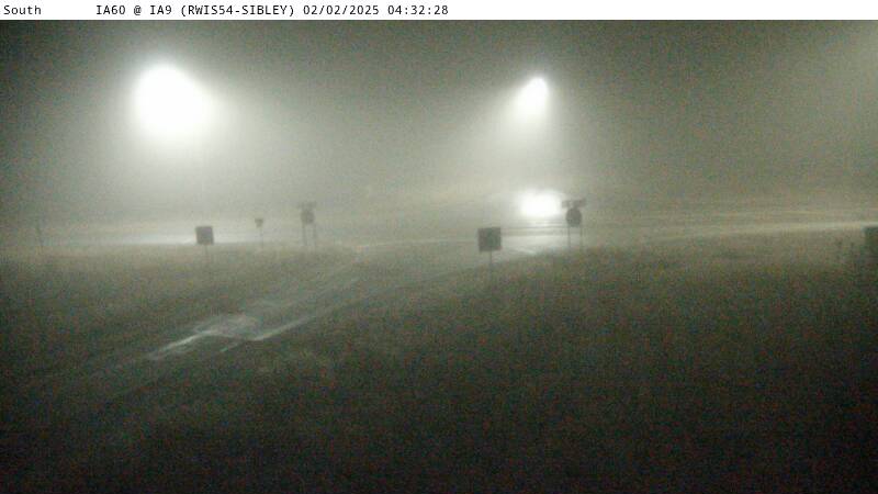
IA 9: RWIS – IA 9 MM 43 @ Sibley: R54: IA 60 South