Spanning 301 miles across Iowa, I-80 connects Council Bluffs on the western border to Davenport on the eastern edge, with Des Moines located midway. Drivers can access I-35 in Des Moines, I-29 in Council Bluffs, and I-74 in Davenport. As you travel I-80, the highest elevation you'll encounter is 1,341 feet near Adair.
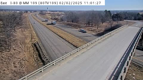
I-80: I-80 @ MM 109
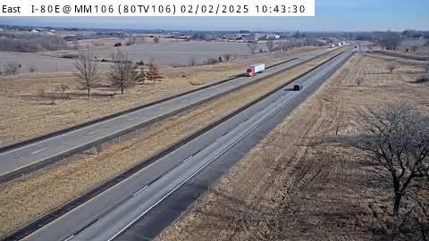
I-80: I-80 @ MM 106
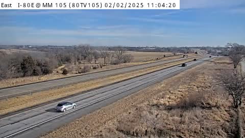
I-80: I-80 @ MM 105
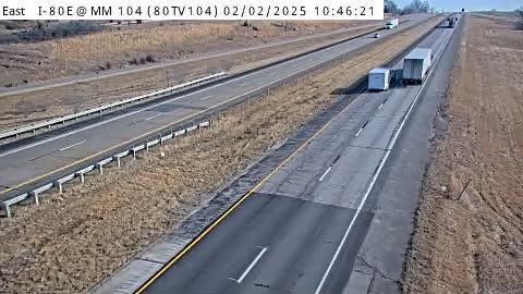
I-80: I-80 @ MM 104
I-80: I-80 @ MM 101
I-80: I-80 @ MM 100
I-80: I-80 @ MM 99.6
I-80: I-80 @ MM 98
I-80: I-80 @ MM 97
I-80: I-80 @ MM 96
I-80: I-80 @ MM 93
I-80: I-80 @ MM 90
I-80: I-80 @ MM 88
I-80: I-80 @ MM 86
I-80: I-80 @ MM 83
I-80: Rest Area: I-80 EB MM 80 near Adair: RA80EB80 – Center
I-80: Rest Area: I-80 EB MM 80 near Adair: RA80EB80 – Entry
I-80: Rest Area: I-80 EB MM 80 near Adair: RA80EB80 – Exit
I-80: I-80 @ MM 80
I-80: Rest Area: I-80 WB MM 80 near Adair: RA80WB80 – Center
I-80: Rest Area: I-80 WB MM 80 near Adair: RA80WB80 – Entry
I-80: Rest Area: I-80 WB MM 80 near Adair: RA80WB80 – Exit