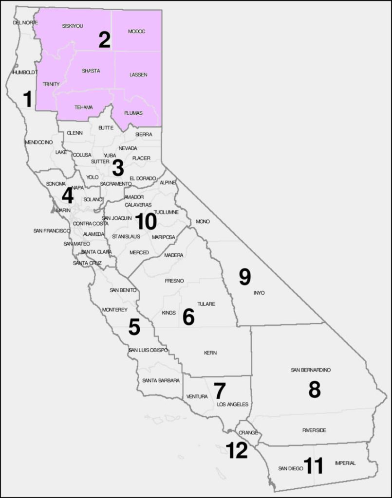
SISKIYOU, MODOC, TRINITY, SHASTA, LASSEN, TEHEMA AND PLUMAS COUNTIES
Siskiyou, Modoc, Trinity, Shasta, Lassen, Tehama and Plumas counties are located in the northern part of California, along the border with Oregon and Nevada. They are home to some of the most scenic and diverse landscapes in the state, such as Mount Shasta, Lassen Volcanic National Park, Lake Almanor, Trinity Alps Wilderness, Lava Beds National Monument, and Eagle Lake.
The main road that connects these counties is Interstate 5, which runs north-south parallel to the Cascade Range. It is the primary route for travel between California and Oregon. It passes through the cities of Yreka, Weed, Mount Shasta, Dunsmuir, Redding, Anderson, Red Bluff, and Corning. Along this route, you can access many attractions and recreation areas, such as Castle Crags State Park, Shasta Lake, Whiskeytown National Recreation Area, Turtle Bay Exploration Park, Sacramento River Trail, and Woodson Bridge State Recreation Area.
U.S. Route 395, runs north-south along the eastern edge of California. It connects Interstate 15 near Hesperia with Oregon and Nevada. Along this route, you can access many attractions and recreation areas, such as Honey Lake Wildlife Area, Eagle Lake Recreation Area, Modoc National Wildlife Refuge, Lava Beds National Monument, Tule Lake National Wildlife Refuge, and Lower Klamath National Wildlife Refuge.
State Route 299, runs east-west across northern California. It passes through the towns of Willow Creek, Weaverville, Redding, Round Mountain, Fall River Mills, Adin, and Cedarville. Along this route, you can access many attractions and recreation areas such as Six Rivers National Forest (including Bigfoot Scenic Byway), Trinity River Scenic Byway, Whiskeytown-Shasta-Trinity National Recreation Area, Lassen National Forest, Modoc National Forest, Modoc Volcanic Scenic Byway, Surprise Valley-Barrel Springs Back Country Byway.
State Route 36, runs east-west across northern California. It passes through the towns of Bridgeville, Dinsmore, Mad River, Forest Glen, Platina, Red Bluff, Mineral, Chester, and Johnstonville.
Road CamsSISKIYOU, MODOC, TRINITY, SHASTA, LASSEN, TEHEMA AND PLUMAS COUNTIES
Interstate 5, runs north-south parallel to the Cascade Range. It is the primary route for travel between California and Oregon.
U.S. Route 395, runs north-south along the eastern edge of California.
State Route 299, runs east-west across northern California.
State Route 36, runs east-west across northern California.
State Route 44, runs east-west across northern California. It connects Interstate 5 in Redding with U.S. Route 395 in Susanville.
State Route 89, runs north-south across northern California. It connects I-5 near Mount Shasta City with U.S. Route 50 near South Lake Tahoe.
Mt Shasta
Road Cams

